Wednesday, August 14, 2013

Home, Sweet Home

We are home...sweet home!  As much as we like traveling in our little mobile cottage, it's always nice to get home to our shady trees.


Now we get to catch up with family and friends for a few months!  I'll keep up the blog, but I doubt that the scenery will be quite so spectacular!

Monday, August 12, 2013

A last few pictures and almost home

We spent one more day in the Petoskey area.  It really is a nice place, full of lakes, large and small,  like Walloon Lake.


Also, a couple of nice views of Crooked Lake.


Luke went back to get a better picture of St Francis church in Petoskey, hoping the sun would be shinning.  He got this photo which is pretty good.


But then he began to play with a HDR photo enhancing program and came up with this!


Looks like a pen and ink, colored-in greeting card, doesn't it!

Onward southeastward.  Through most of the lower peninsula of Michigan, and much of Ohio, today we entered into West Virginia, almost home (almost heaven?).  The clear, bright skies and low humidity of Montana, Canada and the NW gave way to our familiar smoky Blue Ridge.


Back into Virginia, we are at our final Wal-Mart parking lot for this trip.  Funny....most Wal-Marts don't mind the "campers".  In fact, they welcome them, as it is sure business.  But this WM  is next to a Lowes, parking lots divided only by a traditional "street" in a shopping mall.  This LOWES doesn't want us!  They have constructed bright yellow barriers across each entrance, stating that the clearance is only 12 feet.  That effectively keeps out most of the larger RV's.  (sorry for the bad picture - it's been raining, raining.)


So our summer adventure is almost over. 100 miles to home tomorrow. True to the Blog's name, we covered some latitudes (and longitudes!).  With central VA being at a latitude of about 37 degrees, we managed to go northward far enough to reach over 53 degrees (Mt. Robson near Jasper National Park). That's 960 nautical miles or 1100 statute miles of north south travel.   Our most westward longitude was Summerland, AB, at 119 degrees.

2 months 3 days, 17 states, and 2 Canadian providences and nine national parks.  That put 7,100 miles on our RV and an additional 3,800 miles of adventuring on the car.

Heather had a chance to visit for over a week and take in the Calgary Rodeo. We were able to camp with Lisa and family and share the Black Canyon of the Gunnison. We visited with Erin and her family in Longmont.  It's been a splendid adventure.   And tomorrow, we'll be home for Nikki's birthday and a visit from sister-in-law Beth!

Friday, August 9, 2013

Mackinac Island and Petoskey

Up early on Thursday to catch the ferry to Mackinac Island - that's the only way to get there.  We opted for the "slow" ferry; one that takes 45 minutes instead of 15.  We liked it!  En route we saw this typical Lake Michigan lighthouse.


Approaching the tourist island of Mackinac, we could see a few of the exclusive "summer cottages".

 
We could also see the Grand Hotel, sitting proudly on the island.  Built in 1887 (in 3 months!) by 2 rail lines and the Detroit and Cleveland Navigation Co., to promote tourism, she is quite elite.  Elite enough to charge between $300 - $4500 per night for rooms and $10 each to anyone who wants to sit on her long porch!  The porch is the longest covered porch in the world, so it is proclaimed, and the hotel is the largest summer hotel in the world, but not worth $20 to use just to stand on the porch.
 
 
From the boat, we also got a nice view of the church.


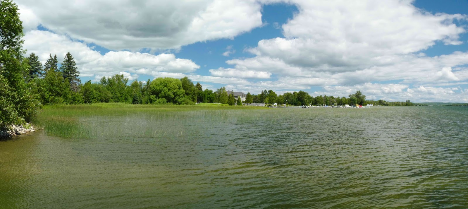
The town looks busy from the water.


and even busier from the street!


No motor vehicles of any type (except a fire truck and an ambulance) are allowed on the island.  All transportation is on foot, by bike, or of the horse drawn sort.  SO, we went for a horse drawn carriage ride!   Here is one of the carriages, claimed to be the highest capacity passenger carriage in the world, pulling up to pick up a group of us to ride through the Mackinac State Park.  Most of the horses are Belgian Draft horses, large, powerful, and beautiful.  They work 4 hours per day, 6 days per week, for 4 months of the year.  For the rest of the months, they are removed from the island and put to pasture to wait out the winter.
 
 
One of our stops was at The Arch, a natural arch overlooking Lake Michigan.
 
 
Looking carefully in the shallow water below, someone has taken the white rocks and "painted" a sailboat in the edge of the waters.


We stopped at Fort Mackinac, built high on a hill, overlooking Lake Michigan.
 
 
Old guardhouses...
 
 
Old cannons firing...
 
 
Here is the fort from the water side - that's a real walk to get up to it!
 

To read up on the interesting history of the fort, click here.
 
Each year, the island and fort host a group of Boy Scouts or Girl Scouts to act as Goodwill Ambassadors to the tourists.  The first year they began the program, one of the Boy Scouts was non other than future president Gerald Ford.  That event has been immortalized, with good intentions I'm sure, but a bit scary... you'll see...
 
 
This morning we left St. Ignace and drove across the Mackinac Bridge, the longest suspension bridge in the western hemisphere, to Luke's old home of Petoskey, MI.
 
 
When Luke's parents left Belgium for a new life in the US, they first lived in Petoskey.  Luke's dad was the organist in this beautiful church.


After about a year, dad moved on to a different church, but Luke's Nonkel Gust (Uncle Gust) and family moved to the US and took over the organist's position here for over 20 years.  This is the house they lived in ...Nonkel Gust, this picture is for you!!!

Luke credits his short time here as a young boy to starting his interest in sailboats.  We visited Harbor Springs this afternoon - I think somebody has cast a memorial to Luke and his love of sailboats.
 

The Odawa Resort and CASINO in Petoskey generously offers free RV spaces for overnight parking in their lot. They even supply free shuttle service from the RV lot to their casino (very clever...). 
 
 
 Of course, we felt obliged to visit, so we went in for the buffet dinner.  I am quite proud to say that I spent $1.25 in the quarter slots and won $16! I gave that $16 to Luke and he parlayed it to a grand $19 at the $1 roulette table!  The last of the big gamblers, I have to say ---- but we had a lot of fun AND our winnings almost covered our dinner.
 
We plan to see more of the area tomorrow and then make a bee-line for home.


Thursday, August 8, 2013

Valley Camp Museum, Sault Ste. Marie


On the forecast of a rainy/thunderstorm Wednesday, we opted for the Valley Camp Freighter Museum in Sault Ste. Marie.  Luke posed amongst the many large anchors and buoys on display.


One of the many big “lakers” came by as we waited to go into the museum.  She was obtaining a space in the lock as she waited.


They did a nice job of turning the freighter into a museum.  Here is a shot of the cargo hold, now holding relics and informational tidbits about commercial boating on the Great Lakes.


I LOVE this …. The phone from the boiler room to the cockpit…note the name…”Hear-Here”!


How about this exposure suit pack….if you can read it, you are about to go jump ship, cold water and all, and wait for some distant boat to find you and pick you up…last instruction is “Relax – you can not sink”…sure…

 
The wreck of the Edmund Fitzgerald is still a big deal here, as it is the last of the great disasters.  For more info, click Edmund Fitzgerald. Here is one of the two recovered life boats (that didn’t save any lives - all aboard perished).


This one sure didn’t work…


AMAZING to us --- the laker ship Arthur M. Anderson passed by as we were watching the St Mary's river. This is probably historically the most relevant laker afloat. She was the closest ship to  the Edmund Fitzgerald (memorialized in "the Ballad of the Wreck of the Edmund Fitzgerald" by Gordon Lightfoot) before she sank.  The Arthur M. Anderson had maintained radio contact and helped the Edmund Fitzgerald as they were both weathering a very severe November storm in 1975. The Edmund Fitzgerald had lost her radar masts, and developed a list as she approached the eastern end of Lake Superior. They lost sight of the Edmund Fitzgerald as she sailed into a severe squall, and she was never seen again. The Arthur M. Anderson raced to save the crew, but she was about 10 miles away and with the terrible storm could not reach The Fitz in time.  Built in 1952, she is very close to the design of the Edmund Fitzgerald ( built in 1957) and she is still in service AND passed in front of us as we stood outside of the museum!  For more info, click Arthur M. Anderson


Here I am, standing on the deck of the  Valley Camp, as another large freighter passes by.


Luke opted for his photo to be taken outside of the Bridge (pilot house).


It was a good tour. Today we did a ferry ride to Macinac Island and a tour of the island - will post that one in a day or so.


Wednesday, August 7, 2013

Sault Ste. Marie


On Tuesday morning we were off to see Sault Ste. Marie (there are two towns by that name  – one US and one Canadian) and the locks connecting Lakes Superior and Huron. This is where the Great Lakes iron ore ships leave Lake Superior – remember the story/song of the sinking of the Edmund Fitzgerald?  It’s sure remembered here!  It is the last major shipwreck in the region, downed in a November storm 1975.

Sault Ste. Marie was used for hundreds of years by the First Nations peoples for travel, socialization, and the great fishing in the area.  In 1666, Missionary-Explorer Father Jacques Marquette arrived in Canada from France to both found a mission here and also to explore and survey the land.  It took him 5 years to finally reach his destination, but he did arrive and founded a mission on the straits of Mackinac.  Later he and Louis Jolliet left on a 3000 mile trip to explore and map Lake Michigan and the Mississippi River Valley.  His map was the most accurate known then.   Here is the bridge that crosses the Straits of Mackinac between the upper and lower peninsulas of Michigan.

 
SO.  What do sailors do when they’ve been in an RV too long?  Go off on a boat!
 

We took a sister boat to this one for a cruise on the St. Mary’s River. This was quite interesting, as it took us through the large commercial locks on the US side, then through the smaller recreational boat locks on the Canadian side of the 21 ft high St Mary's River rapids - the historical barrier to navigation between lakes Superior and Huron.

 
 First up on our sight-seeing cruise, the Clover Electric Plant, built along the shore of the river in 1902.  Italian stone cutters cut each individual stone to fit perfectly.  A major undertaking for the time!


The pillars were designed to look like lighthouses.
 
Here is an observation tower, 5 levels for viewing the river and her locks. At 210 feet tall, she has elevators!

 
The Valley Camp freighter transported coal, iron ore, and limestone for 50 years.  Now she is a museum boat.  Wednesday is forecast to be a rainy day so we plan to visit the museum then.


Next, to the best part of the cruise – through the locks!  In 1853 – 1855 the first set of locks was built here to bypass the St. Mary’s Rapids.  Prior to that, “vessel portage” was necessary to get a vessel past the 21 foot high rapids and to the other side, using greased timbers and special cradles and skids.  It took between 6 weeks and 3 months to get a vessel to complete the route!  Today, 20 minutes. There are 4 locks – here is the  American lock that we went through.
 

Visitors can use the “grandstand” to view the locks in use as boats come through.
 

Know what happened then? RAIN.

 
But, we just went to the covered part of the boat and were fine!  We could see this 1000 ft “laker” ship (a Great Lakes ore ship) slipping into the next lock, headed in the opposite direction.  The lock is only 1200 feet long, and this 105 foot wide ship has only 2 ½ feet of clearance on either side of the lock!
 
Here is the steel mill on the Canadian side of the river.
 
 
And here we are, heading back though a lock, this time a  Canadian lock. 
 
 
Also, immediately after the connecting bridge ---- Wal-Mart!  We shoulda stayed there!  Noooo…. The line across the bridge, coming into the USA from Canada spanned the bridge and beyond.  We were told that it is often 3 miles in length. We can vouch that US Customs is not a fast process.

 
Of course, bodies of navigable water need lighthouses.  They also need fast ferries to cross to islands (Mackinac Island).  Here are both!
 
We were glad to find this little place, too.  A Laundromat.  I liked the old sign.
 

Overall, a nice day in Sault Ste. Marie.  We visited the museum today - pictures tomorrow.